Ellenbrook Fields parkrun
Profile
No data elevation
Name:
No data
Distance:
No data
Minimum elevation:
No data
Maximum elevation:
No data
Elevation gain:
No data
Elevation loss:
No data
Duration:
No data
Description
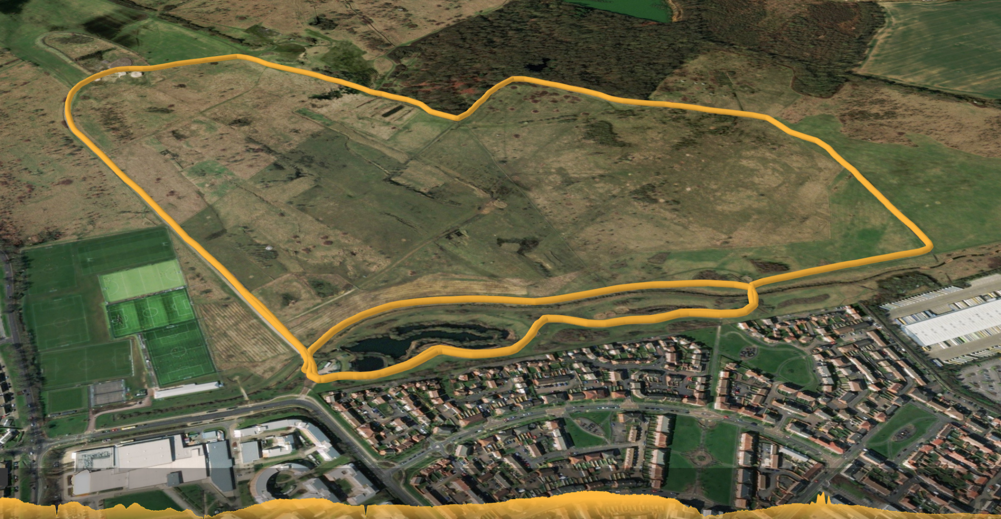
Ellenbrook Fields parkrun is predominantly flat and comprises mainly grass, the remainder being tarmac or concrete paths. This scenic course is one anti-clockwise loop of Ellenbrook Fields with an inner loop near the start. Features of the old Hatfield Aerodrome can be seen around the course and the start is on the former taxiing strip.
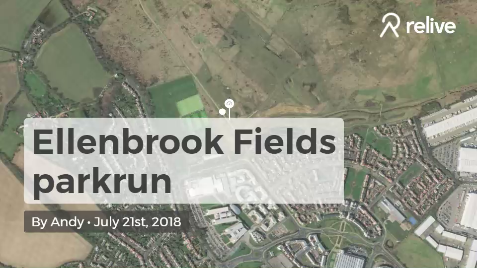
Ellenbrook Fields parkrun
Ellenbrook Fields parkrun is predominantly flat and comprises mainly grass, the remainder being tarmac or concrete paths. This scenic course is one anti-clockwise loop of Ellenbrook Fields with an inner loop near the start. Features of the old Hatfield Aerodrome can be seen around the course and the start is on the former taxiing strip.
Distance: 5k
Start/Finish: Ellenbrook Fields
- Grass
- Tarmac path
- Trail